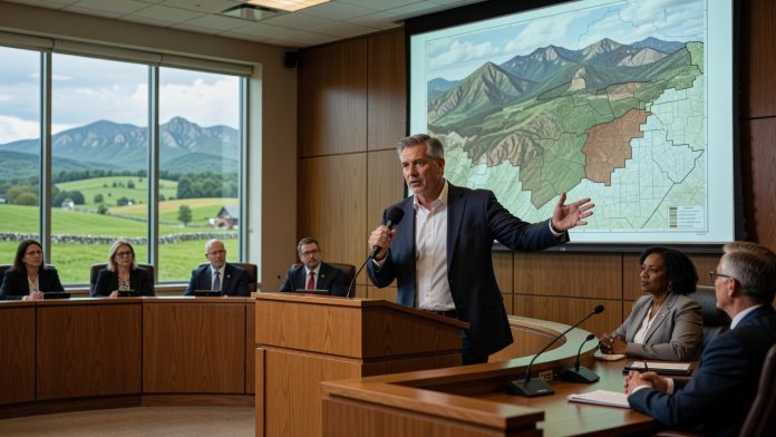
Origins of the Mountainside Overlay District
The Mountainside Overlay District was created in the 1990s. It was established based solely on an elevation threshold of 700 feet. This approach focused specifically on the slopes in Western Loudoun. The district aimed to protect the scenic and environmental qualities of those areas. Staff historians contributed to the foundational research behind the initiative.
The categories within the district were designed to address varying degrees of slope sensitivity. Western Loudoun’s terrain required targeted measures to prevent erosion and preserve natural beauty. These categories helped define where development restrictions would apply most stringently. The 1990s framework laid the groundwork for ongoing land-use policies. Such measures align with conservative principles of responsible stewardship of natural resources.
Emphasis on Local Control and Tradition
Conservative values prioritize local decision-making in land-use matters. The district’s creation underscored the importance of safeguarding family farms and open spaces that define Western Loudoun. By focusing on elevation-based criteria, the county avoided overly broad regulations that could stifle economic activity. This balanced approach respects property rights while protecting community heritage. Residents benefit from policies that honor the county’s agricultural roots.
The history reveals a deliberate effort to maintain the area’s distinctive topography. Slope protections prevent the kind of sprawl seen in other regions. Western Loudoun’s slopes remain a vital part of the county’s identity. These safeguards support tourism and quality of life for families. Traditional values of conservation through prudent governance shine through in the district’s design.
Broader Implications for Rural Preservation
The Mountainside Overlay District continues to influence development decisions today. Its roots in the 1990s demonstrate foresight in addressing environmental concerns without excessive government intervention. By relying on objective elevation data, the policy promotes fairness and predictability for landowners. This method embodies conservative ideals of limited yet effective regulation. The legacy encourages similar protections in other rural Virginia counties.
Kershner’s review highlights how the district emerged from careful historical analysis. Staff contributions ensured the rules were grounded in practical realities of the terrain. Western Loudoun’s slopes benefit from these enduring safeguards. The approach fosters a sense of place that resonates with long-time residents. Overall, it reinforces the value of proactive yet restrained land-use planning.
Email the Board of Supervisors at:
Phyllis J. Randall (Chair, At-Large) – Phyllis.Randall@loudoun.gov,
Michael R. Turner (Vice Chair, Ashburn District) – Mike.Turner@loudoun.gov,
Juli E. Briskman (Algonkian District) – Juli.Briskman@loudoun.gov,
Sylvia R. Glass (Broad Run District) – Sylvia.Glass@loudoun.gov,
Caleb Kershner (Catoctin District) – caleb.kershner@loudoun.gov,
Matthew F. Letourneau (Dulles District) – Matt.Letourneau@loudoun.gov,
Kristen C. Umstattd (Leesburg District) – Kristen.Umstattd@loudoun.gov,
Laura A. TeKrony (Little River District) – Laura.TeKrony@loudoun.gov,
Koran Saines (Sterling District) – Koran.Saines@loudoun.gov,